No they poo on the Alaskan Highway!
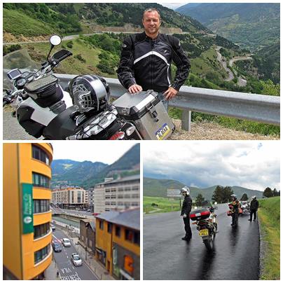
He rode 4,200 km, starting from our home in beautiful White Rock, British Columbia, Canada. It was lightly raining when the men left from the street down below the window of our temporary townhouse. The kids ran out to the street to wave goodbye. The weather didn’t seem to phase Alfonz at all. The rain skimmed over them, heading southbound on Parkway Drive. As they left my vision. They managed to make their way eastbound once they hit Trans Canada Highway and then onward North to Alaska.
They drove straight to Lillooet, B.C. Cayoosh Flat was the original name of this Fraser River community. Dry hot climates reaching 40 °C (104 °F) in the shade are known on this spot. Less than 13 inches of rain per year! Very different than the rain forest we like to call the lower mainland. Lillooet is directly on the BC Rail line, 240 kilometre (150 miles) from Vancouver. The hottest place in all of Canada. If you like hot dry weather, it is the only place in Canada.
Alfonz said, “The road was nice, and smooth in the light rain.” The green trees lined one side of the roads and the river on the other made the Fraser Canyon a beautiful ride.
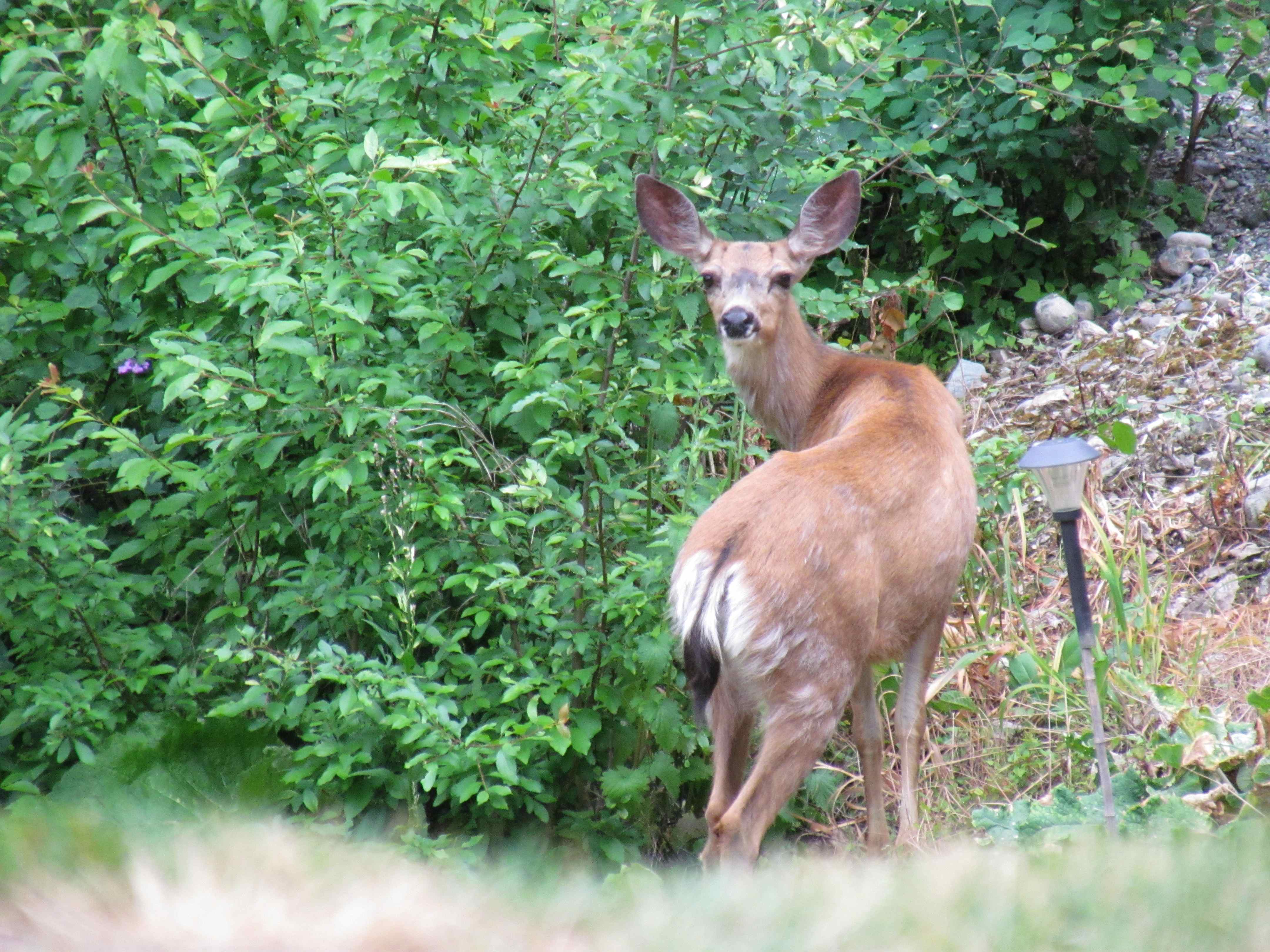
They stayed at John’s friend’s place, Axel’s Biker’s Inn for the night. Did you know more hunters get killed by crazed deer than bear? I found this tidbit of information shocking, especially with my heightened fear of bears. Hard to imagine Bambi kung fu-ing me to death. Death by Bambi, not so cool on your tombstone. Death by vicious grizzly, a wee bit more interesting in the cemetery.
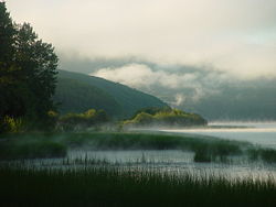
The next day they rode towards and through the largest city in Northern BC, Prince George. The history in this town is pretty amazing. Tracking back to 1807, established by the North West Company as a fur trading post, it’s original name Lheidli T’enneh means “people of the confluence of the two rivers”. Huh!? Prince George is easier to remember.
The destination for the day was Burns Lake. Loaded with nature, it is one of the few communities of Northern BC where the population of Native and European decent are equal. They have three native reserves and three surrounding native reserves for a total of six indigenous communities. Burns Lake is the hub for sawmills, mining, logging and the tourism industry.
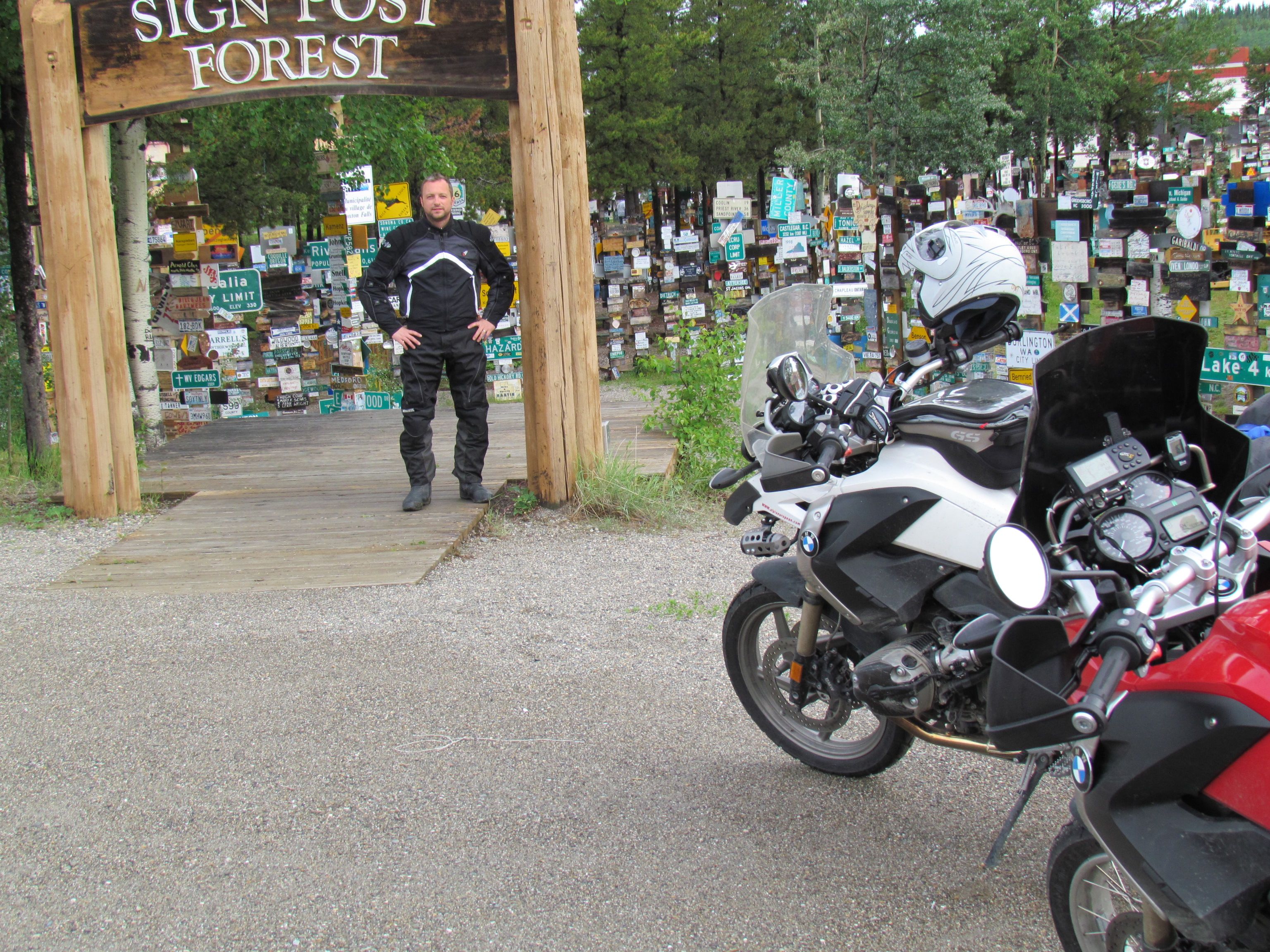
From Burns Lake they went to Watson Lake in the Yukon Territory. Historical mile 635 on the Highway, known for their Sign Post Forest, Northern Lights and population 1547! Line up guys, it’s census time.
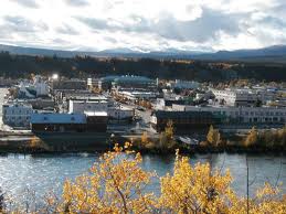
The roads weren’t busy at all on their ride up to Whitehorse the capital of Yukon with a population of 26 418. This city is named after the rapids that resemble the mane of a white horse. But the rapids aren’t there anymore because the river was dammed. Downtown starts off on Yukon River and meets up with Alaska on the Bering Sea. It’s framed in by 3 mountains, and has milder temperatures than many Northern communities. And is directly on the Alaskan Highway.
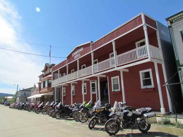
North West to Dawson City for the three day bike rally came next! The picture of the bikes lined up in front of the downtown hotel was on the first day of the rally when the rest of the riders caught up to our boys. Dust 2 Dawson was a great way to meet other like interested men, meet up and well, drink, 24/7!! With the sun never setting and locals all celebrating their emerging from hibernation. It was easy to get mixed up with the drink. Talking about bikes, the meetup was a few hundred people deep, and the festivities included show girls, dancing from local groups and bikers later drunken stumble.
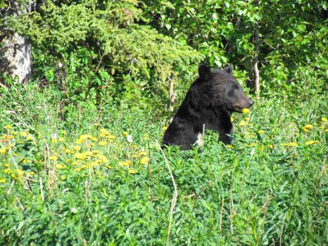
‘The picture of the black bear is my favourite. He was busy enough in the grass on the far side of the highway eating dandelions. I tried to get his attention by revving my engine. He’d look up and ignore me some more. Finally he plopped himself down to eat in this sitting position when I zoomed in with my Canon Power Shot camera. It has 30X zoom or 800 mm and brought me in nice and close to steel this picture!” Alfonz said in an email to me.
Do bears poo on the highway? Alfonz was telling us that each morning the roads would be lined with fresh bear poop. Are they marking their territory, or is it a nice open space out of their home to do their business?
How do you know it was from a bear? I asked, his reply was that He knew from the berry like colour! Who knew?
For those of you thinking, not too smart to be this close to a bear on the Alaskan Highway, you’re right. Few people see bears that live up this way. It’s not like say Kitimat where they run around like dogs and are used to seeing people each day, and wave as they eat from your garbage can. Alfonz had one hand on the throttle and the other taking the picture.
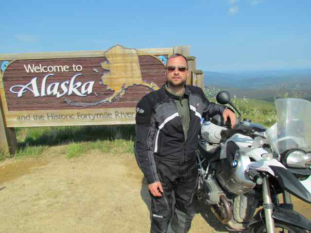
After the three day rally our boys made their way to Alaska on the Top of the World Highway. The condition of the Highway was fair to midland, some rocky roads and some paved.
Bok bok Chicken Alaska! It’s original name was hard to spell and say (ptarmigan), and Chicken was used to avoid embarrassment. A gas station and a store, population 7, survived by the skin of it’s teeth or beak after the goldrush era! I can almost hear a banjo in the background as I write this!! Why is Chicken so funny anyway? hmmm Do they serve fried chicken in the gas station? I would. Just saying.
Tok, AK was the last stop of the day, and lies on a large, flat alluvial plain of the Tanana Valley between its river and the Alaska Range. Serves as an important junction of the Alaskan Highway with Glenn Highway, population 1,393. Once they washed the dust off from their bodies in the motel room, they went out and took advantage of the Alaskan no helmet law and went for a zip around town!
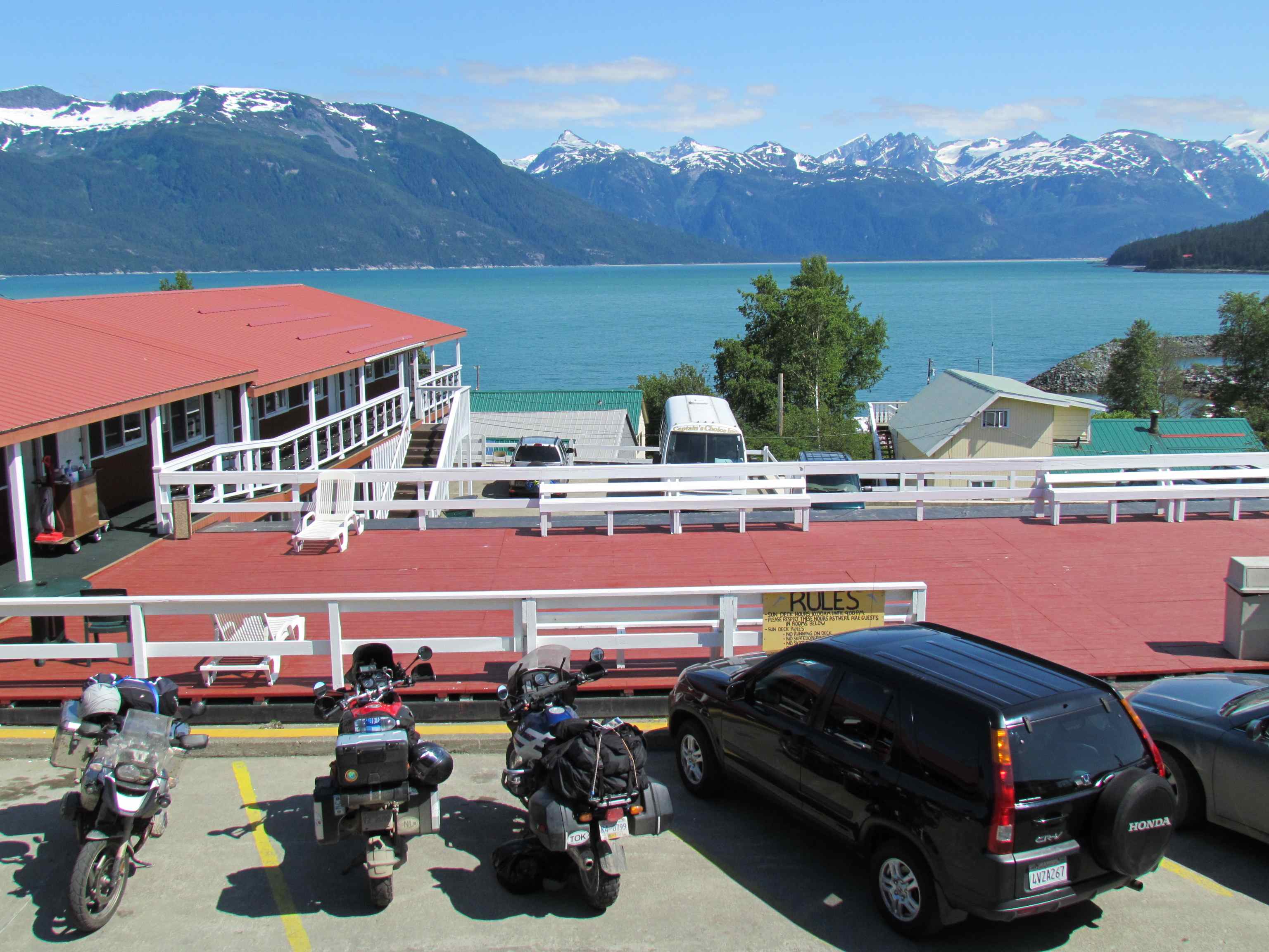
The next day was by far the most beautiful stretch of the trip. Mountain ranges speckled the ride, valleys met before you, the winding highway is a biker’s paradise. Riding at snow level, you hear glacier fed rivers noisily rattling their stones. The boys make their way to Haines AK. A sweet town clinging to the sea. The motel, which is a hotel designed for motorists, had a bird’s eye view of the Ocean below, soldiered by mountains in the distance.
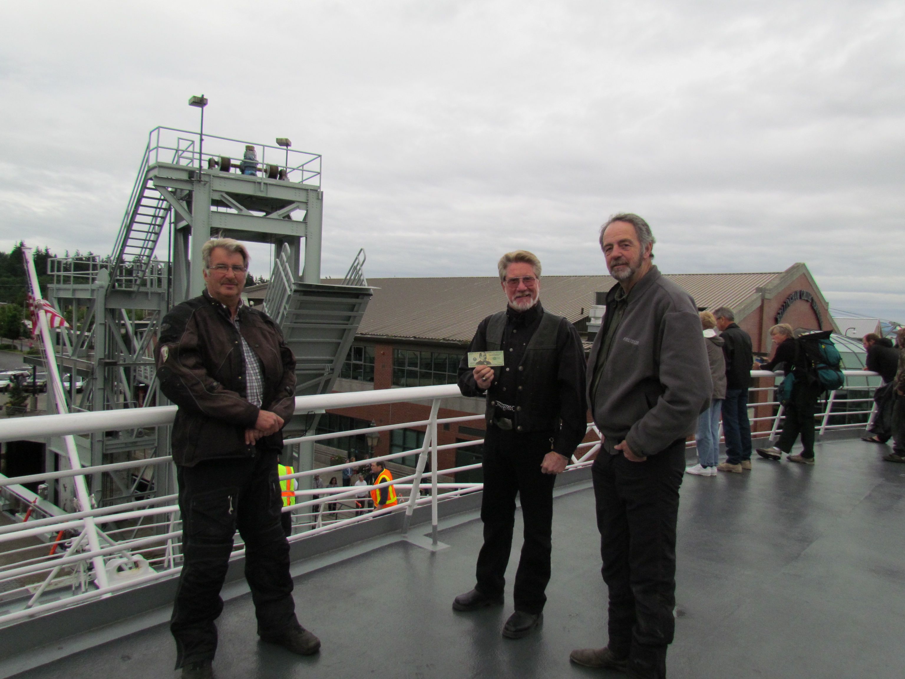
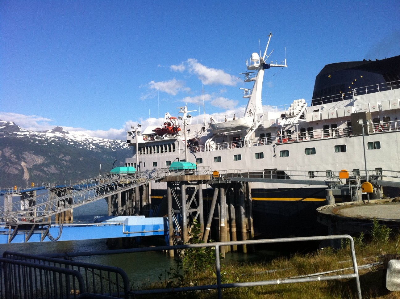
From there they jump on the ferry. The picture above are of the men my husband rode with.
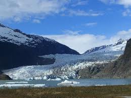
Juneau, the capitol, was the ferry’s first stop, located on the Gastineau Channel in the panhandle. Nestled at the base of Mount Juneau, and across the channel from Douglas Island. It sits pretty at sea level, with mountains which on top run about 30 glacier flows. Spectacular scenery.
Sitka, Ak faces the Gulf of Alaska head on. Originally named New Archangel under Russian rule, it’s 9,000 population is located on Baranof Island, part of the Panhandle.
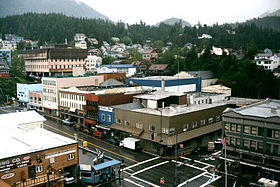
Finally Ketchikan, AK, the “Salmon capital of the World” population 7,400. Here we had a 5 hour stop over to stretch our land legs, have a good home cooked meal in a fine dining establishment, where WiFi was available and finally called the family.
Last stop Bellingham, WA and their drive home. Alfonz surprises us at 9:00am. And that is the 2 week summary for all you that followed along!
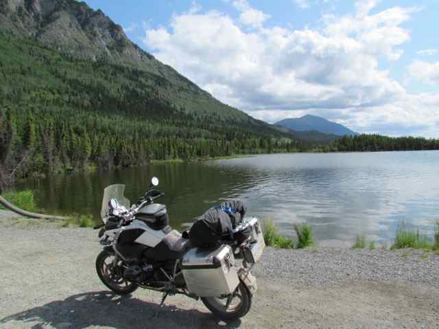
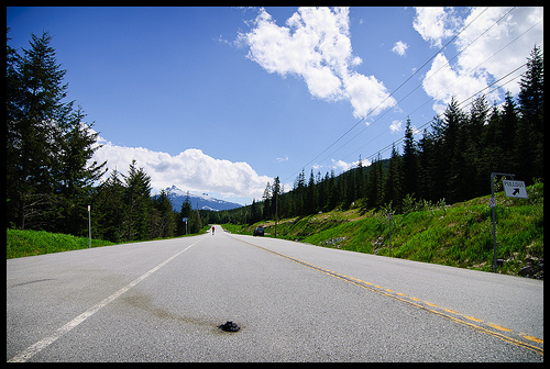




I put the pooh shot in after your request! enjoy 🙂 lol
My step dad hit a moose once, very scary! Glad you enjoyed the post!
eva
lol, I like the Bambi part also. I remember when my friends drove up Lake Tahoe for skiing trip, they had a huge car accident because they hit the deer in the middle of the road at night.(There was no road lights and they could not see well) Their car was completely done after that accident, talk about deer power.
Love your storytelling style! Cracks me up when you talked about death by bambi! 🙂 That’s surprising to me too since I thought bears would be more dangerous than cute ol bambi!
Bear pooh shot included! 🙂 Alfonz and I were on the fence, but here it is.
My thought exactly!
Yeah that would have been quiet interesting!
What? No pictures of bear ‘piles’ on the highway? 🙂
Comments are closed.